MOST POPULAR GLACIERS TO VISIT IN SOUTH CARRETERA AUSTRAL (PART 3)

Calluqueo Glacier
THE MOST ACCESSIBLE ICE TREKKING IN AYSEN
Our tour begins in Cochrane, a city from where we left by car heading south along the Carretera Austral. After five kilometres, the detour from Route X-901 takes us another 42 km to the source of the Pedregoso River, a place located in a mountainous area almost on the border with Argentina. We park at the edge of the road and from there we enjoy a privileged view of Mount San Lorenzo and the Calluqueo glacier, which emerges from it. That's where we're heading.
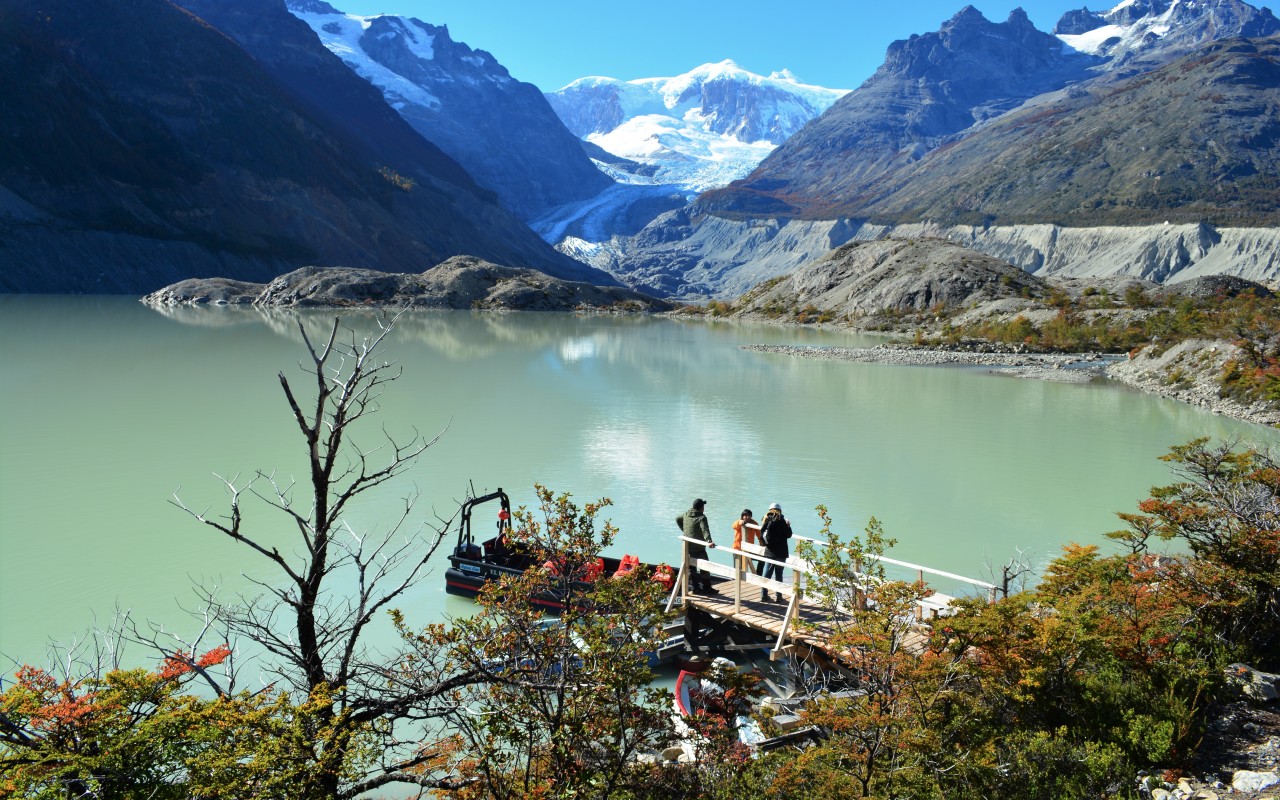
We soon equip ourselves with the poles and protective helmets that our guide gave us, immediately beginning a 20-meter descent on foot along a path with a lot of loose stones. This track leads us to a pier that is located in the area of the terminal moraine of the old glacier, right on the west shore of the Calluqueo lagoon. Its milky green waters are the product of the glacial effect. This first section is surrounded by periglacial vegetation, highlighting small shrubs such as chauras, mutillas and lenga and ñire saplings.

PART ONE, THE BOAT CROSSING
At the small wooden dock the boat awaits us, which takes 30 minutes to cross the lagoon in the middle of a canyon surrounded by rock formations, to the place where the march to the Calluqueo glacier begins. During the journey we are surprised by the retreat of the ice. It's been 200 meters in the last five years. We disembark at the foot of a hill where the tongue of the glacier is located, which descends down the western slope of Mount San Lorenzo, the second highest peak in Patagonia with 3,706 meters.
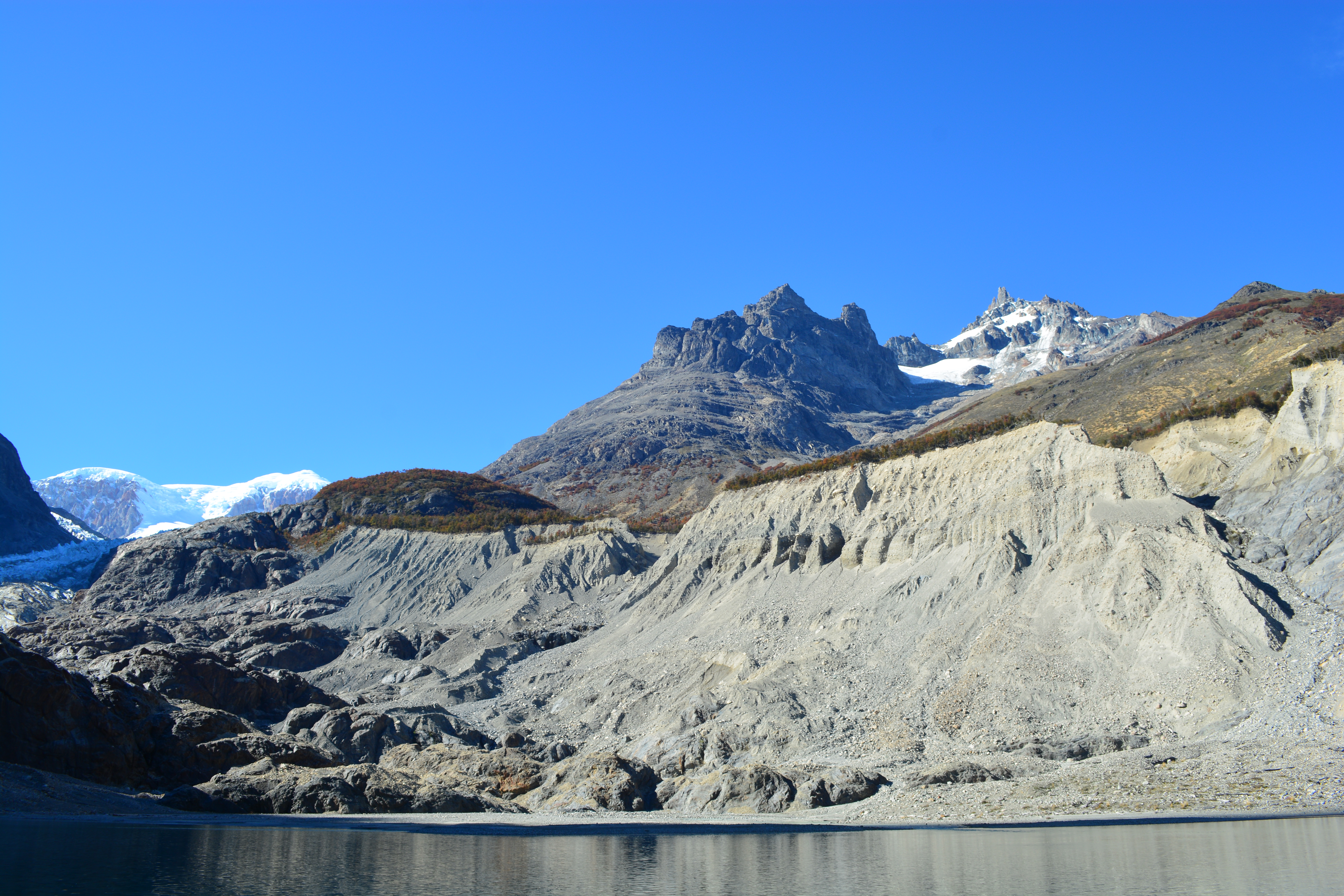
This sector corresponds to the moraine of the Calluqueo glacier, for which the landscape is full of gray and ocher colors. Incredibly, the movement of the ice has transported huge rocks hundreds of meters, placing them in high places and in locations that seem impossible. It gives the impression that they were going to roll down the mountain at any moment.
THE BEGINNING OF THE TREKKING
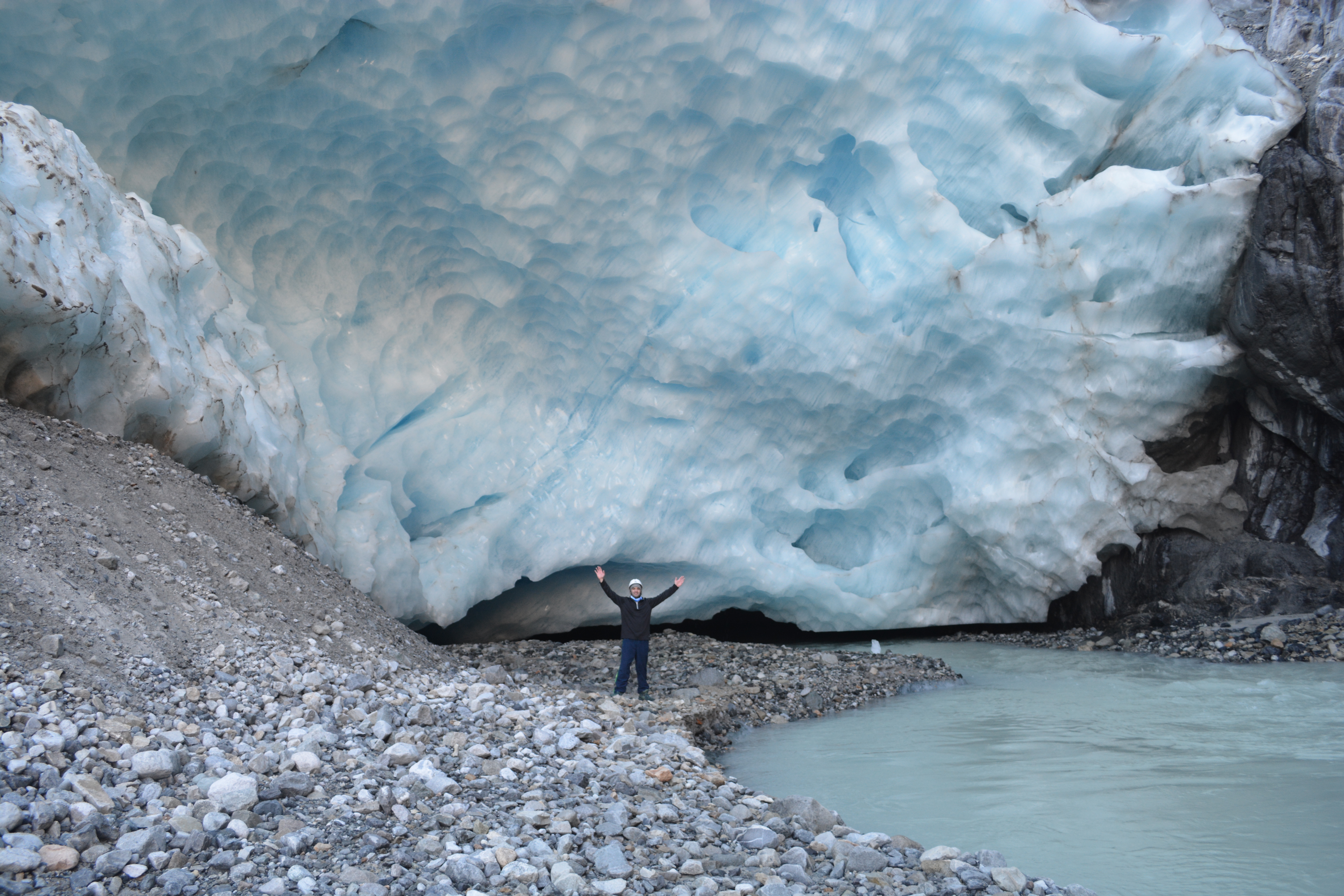
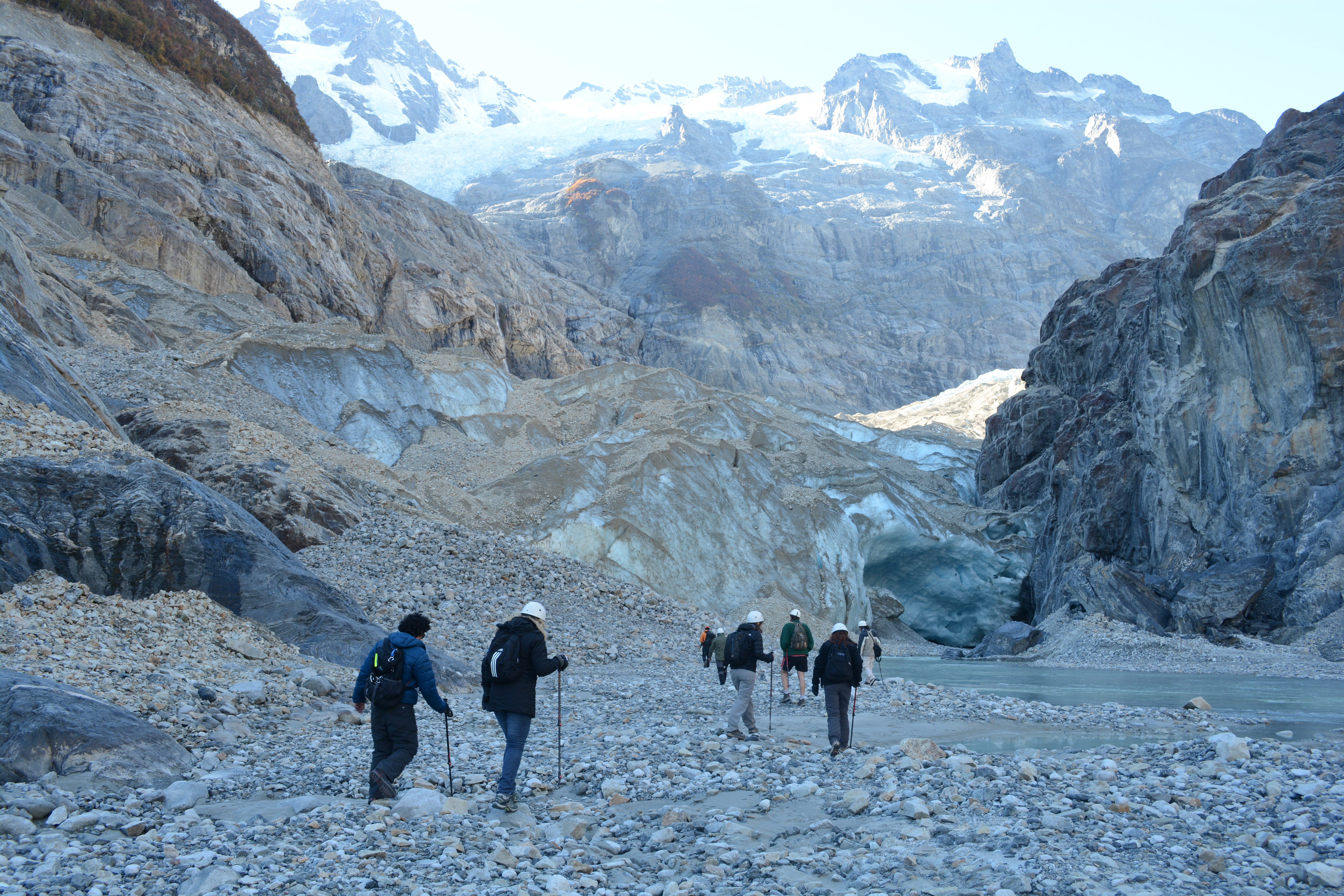
We go around the waters of the lagoon to begin climbing in single file along a path that is not very pronounced, but whose stony ground makes it difficult for us. The rocks here are yellow, brown and white due to the amount of minerals they contain. In front of us we can see a huge wall of ice about 50 meters high that corresponds to the lower sector of Calluqueo, where the entrance to a cave was formed. We must soon turn to the left, along a path that zigzags up the hill. Here the unevenness is greater and the use of poles is essential to maintain balance.

At this time of the morning, the sun's rays illuminate the upper part of the glacier and the mountains, but not the ground we walk on. The temperature is low and you have to dress up warm with a hat, gloves and a parka. After ascending approximately one hundred meters, we arrive at a small plain that allows us to observe the majesty of Calluqueo and Mount San Lorenzo up close. If we look up we will see the ñire forests that surround us just after the upper limit of the moraine.
This point is ideal to get a fresh air before continuing towards the Mellizas waterfalls, which fall from about 70 meters high between the rocks, and at the beginning of the ice trek. Before doing so, we must overcome two hours of walking through a sector of ravines and a path that goes up and down without ceasing. In many sections the traces of the route are erased and that forces us to look for the best alternative to continue forward. The noise produced by the fall of pieces of ice somewhere in the bowels of Calluqueo that we could not observe is impressive. Beneath the surface, the glacier seems to come to life.
ICE TREKKING
Just before reaching the area where the exposed ice begins, it is necessary to place the crampons that allow us to adhere to the ground and that fit any trekking shoe. It is the part prior to the two-hour march that we will do over the glacier. Fortunately, we use our arms and hands only to hold the poles, not to lean on the ice. Little by little we will have reached about 400 meters above the level of the Calluqueo lagoon, which is left behind and becomes smaller and smaller. From the front, on the other hand, one of the snowy shoulders of Mount San Lorenzo looks imposing.

As we advance, we can see streams that move through the cracks in the glacier. The water is lost in small holes where the ice is a deep blue. The trekking group always sticks together and advances on solid and safe ground.
The best comes at lunchtime. This is served in a natural dining room that is formed with some rocks that protrude from the ice in a flat area. We enjoyed a meat, avocado and lettuce sandwich, along with nuts and calafate liqueur. We have enough time to walk on the glacier, before beginning to descend by the same route that was used on the way out.
When we return we must again be very careful with the large amount of stones and loose rocks on the ground. The final reward for all the effort is the visit we make of the ice cave that we saw at the beginning. Next to it runs a small river that is lost in the darkness of the cave, while we entertain ourselves with a relaxed photo session in front of the enormous wall that corresponds to the lowest part of the Calluqueo glacier.
Categorías - Photo